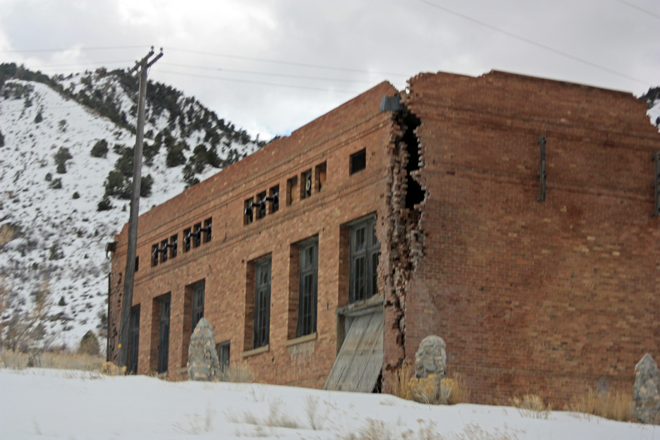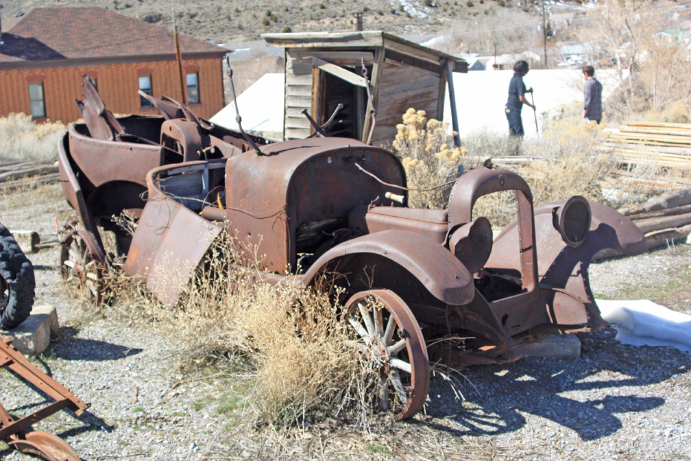
Old car behind the Tintic Mining Museum in Eureka, Utah.
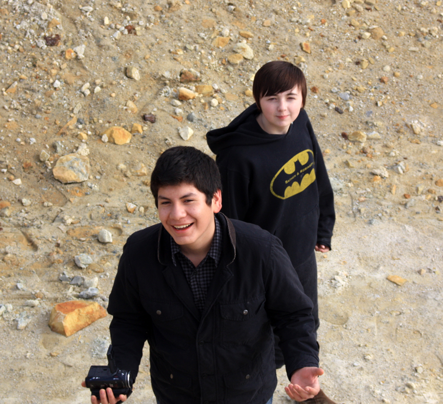
During our Intersession period between third and fourth terms, I taught a class that would help complete our study of lead contamination in the Tintic Mining District around Eureka, Utah for our American Chemical Society Hach grant. We had already visited the area three times to collect samples in the various mine dumps around the area, but we needed one more trip to collect samples from inside the town of Eureka itself. We traveled down for this last trip on Thursday, March 14, 2013. I had three students with me from Walden School: Jeffrey, Indie, and Aaron.
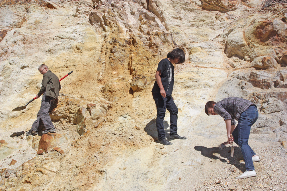
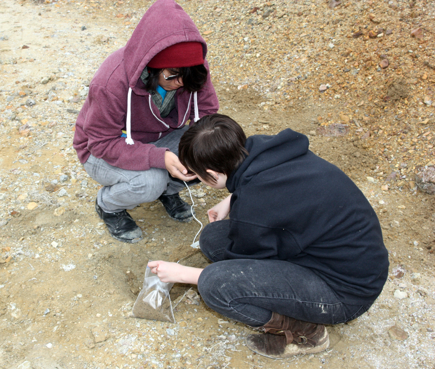
Aaron, Jeffrey, and Indie collecting samples of a hydrothermal vein at a road cut on Highway 6.
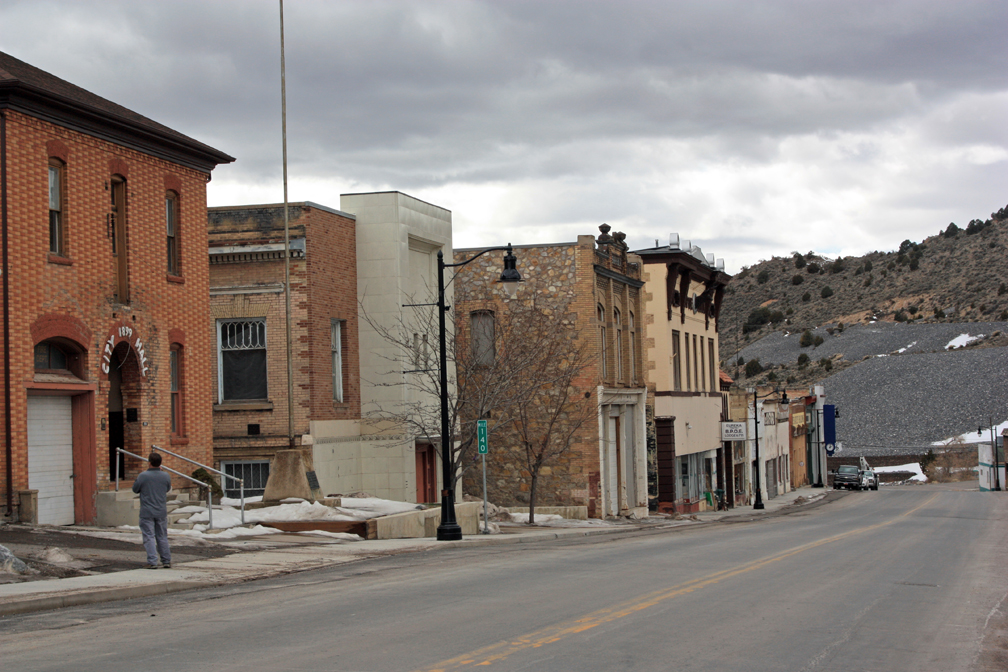
We had scoped out the town and decided to collect at ten locations in the town and at least one location further southwest outside the entire district as controls. The town was cleaned up by the EPA as a superfund project, and $26 million was spent to dig up contaminated topsoil in sensitive areas, such as playgrounds, the baseball field, and lawns at the high school. Other areas have been covered with limestone fragments, or rip-rap, dug up at a quarry about five miles outside town and supposedly beyond the contaminated zone. Still other areas in town have had plastic netting laid over the ground, supposedly to prevent erosion from washing contamination back into the town. And there are many areas that have not been touched, with climax vegetation (mostly sagebrush and some juniper trees) that would take decades to grow. These untouched areas are even found upslope from sensitive areas, such as the high school. There doesn’t seem to be much rhyme or reason to it. The EPA claims that the problem has been solved, but my goal with this study is to provide independent evidence. Are areas inside the town still contaminated?
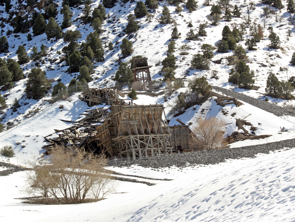
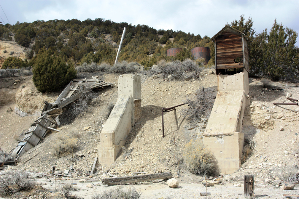
Headframes at the Eagle and Bluebell Mines
We had hoped that students at Tintic High School would identify and collect samples inside town, but the teacher that was going to collaborate with us bowed out because it was getting too close to the end of the year and he needed the time to prepare his students for state mandated tests. So instead, my students and I had traveled around town on our previous trips looking for candidate locations that will give us a good cross section and not cause problems with identifiable private property
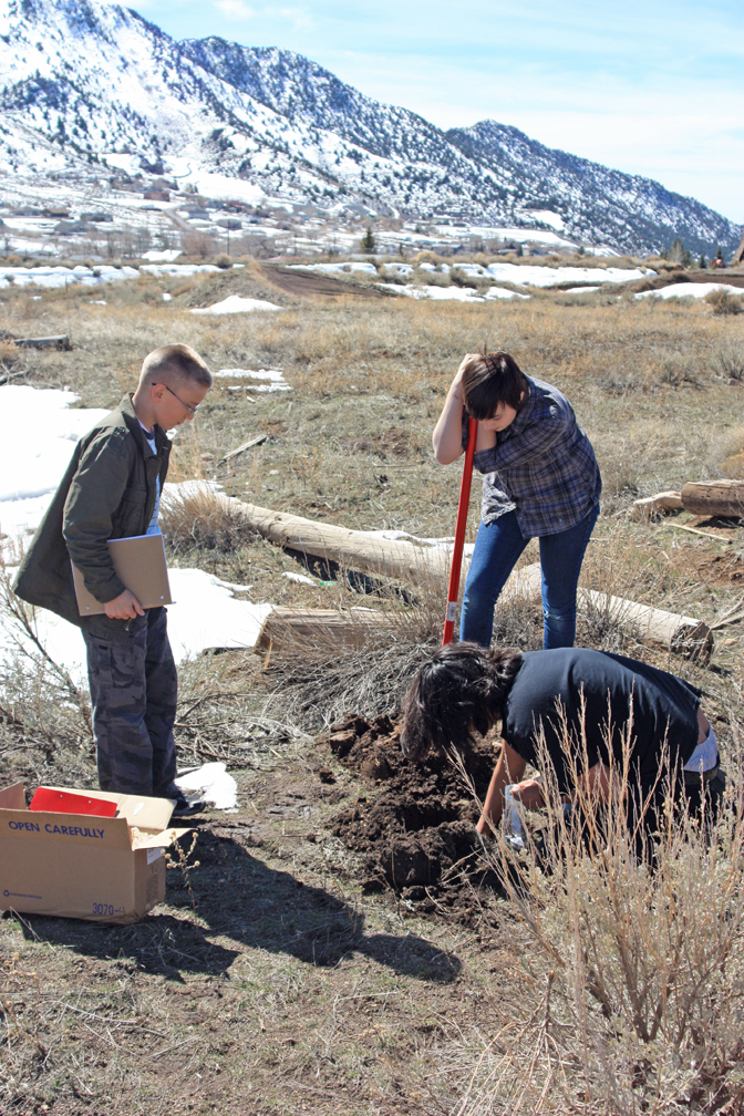
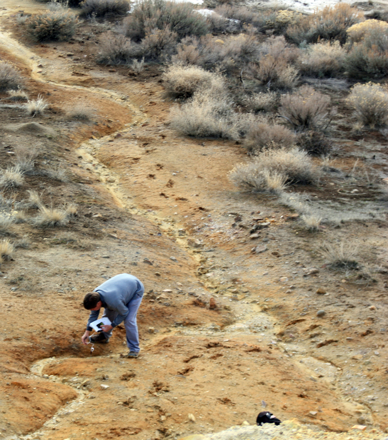
Collecting samples near the High School
I also wanted to get soils from a typical mineralized area that had not been mined or processed. There are a series of road cuts leading into town from the east where U.S. Highway 6 goes around several sharp turns. One of these curves cuts through a section of reddish-yellow rock and soil, the marker of a hydrothermal vein. We stopped and collected two samples, one from yellowish soil and one purplish-white. Then we drove on in to town to start collecting samples there.
We began by driving up to a dirt parking lot near the high school baseball diamond. There is an ATV track there where contamination is likely to have been stirred up by the four-wheelers and washed down a small gully through climax sagebrush and junipers. We collected inside the track, in the gully itself, and at the base of the junipers in what was undisturbed original soil.

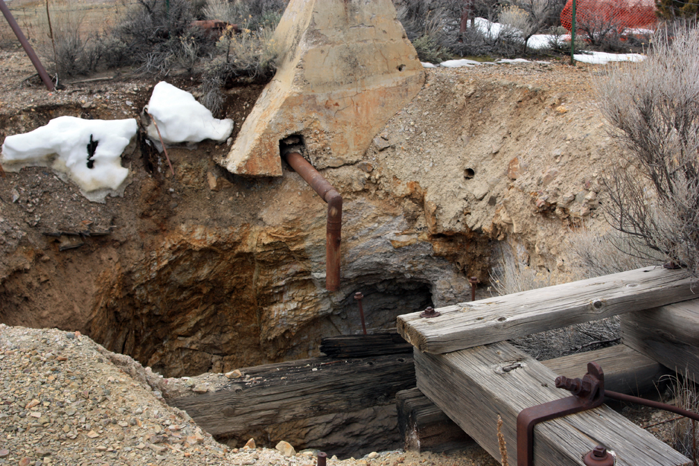
A pump used to drain water from the mines. Power for the pump came from the Nunn brothers’ hydroelectric station in Provo Canyon.
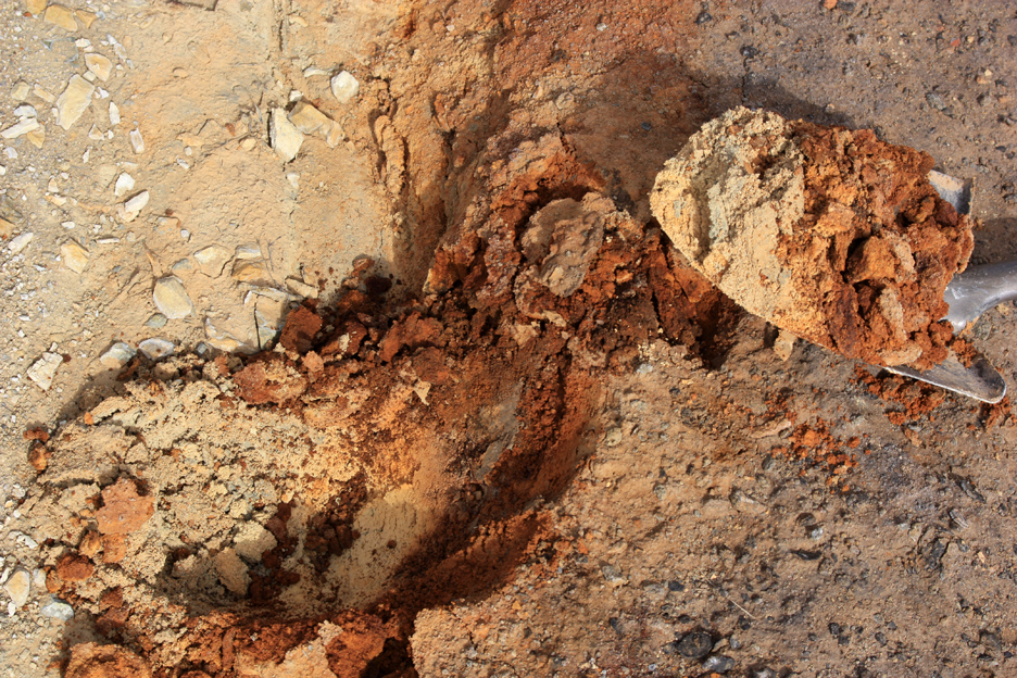
We then proceeded around town, taking samples on the surface and about six inches below at several locations, including a few empty lots, spots next to road right of ways and the city park, downslope from the Eagle and Bluebell mine dumps, and around an old house foundation that was long since abandoned and crumbling into ruin. Altogether we collected at ten sites, or twenty samples, in town. We then drove out of town to the west and collected samples from the bottom of a wash about half way down to the old CCC camp. This would be a control.
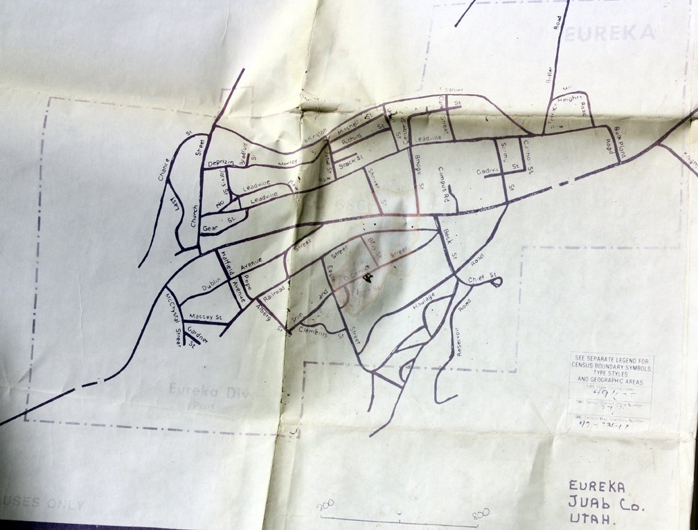
Map of Eureka, Utah
Although we needed to collect quite a few samples in a short period of time, we also took some time to explore more of the town. Around the museum, I explained to the students how the equipment worked, such as the pneumatic hammers, skip cages, water buckets, and muckers. They looked around the old jail and discovered some papers in a room underneath, including a booklet summarizing clean-up efforts after the flooding in 1983. We also found an old, yellowed map of Eureka itself. I carefully took photos of these documents and put them back where we found them. It was a sunny, warm day and we didn’t need coats even though there was still snow on the ground in places. We drove up to get some pictures of the Eagle and Bluebell mine sites. I got out of the car and walked along a hill that is covered in rip-rap to take photos of some old mine equipment and got myself stuck in a snowbank for a minute.
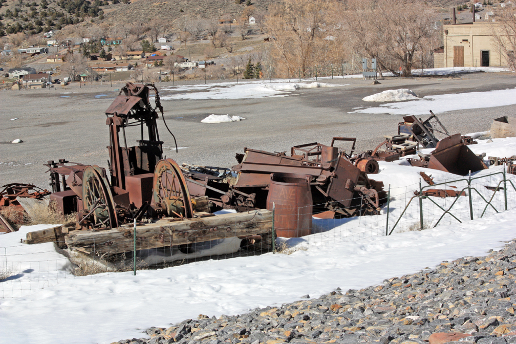
Mining gear at the Chief Consolidated Mining Company headquarters.
All told, we have about 42 samples from over 20 locations all over the district. We had identified these areas using Google Earth last fall. In addition to our sample collecting, we shot video and took photos as we traveled around town, with the intent to put all of this into a video on the history and current challenges of the town. Now for the analyses!
Plastic netting used by the EPA to slow down erosion on slopes, allowing native plants to grow.
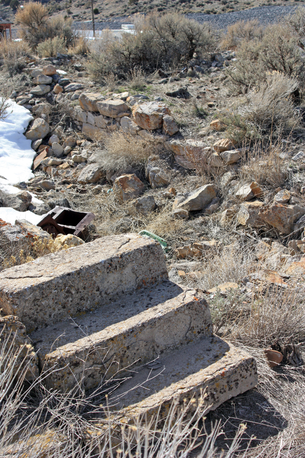
Ruined foundation of a house in Eureka. We sampled near here, since yard fill was often collected from the mine dumps.