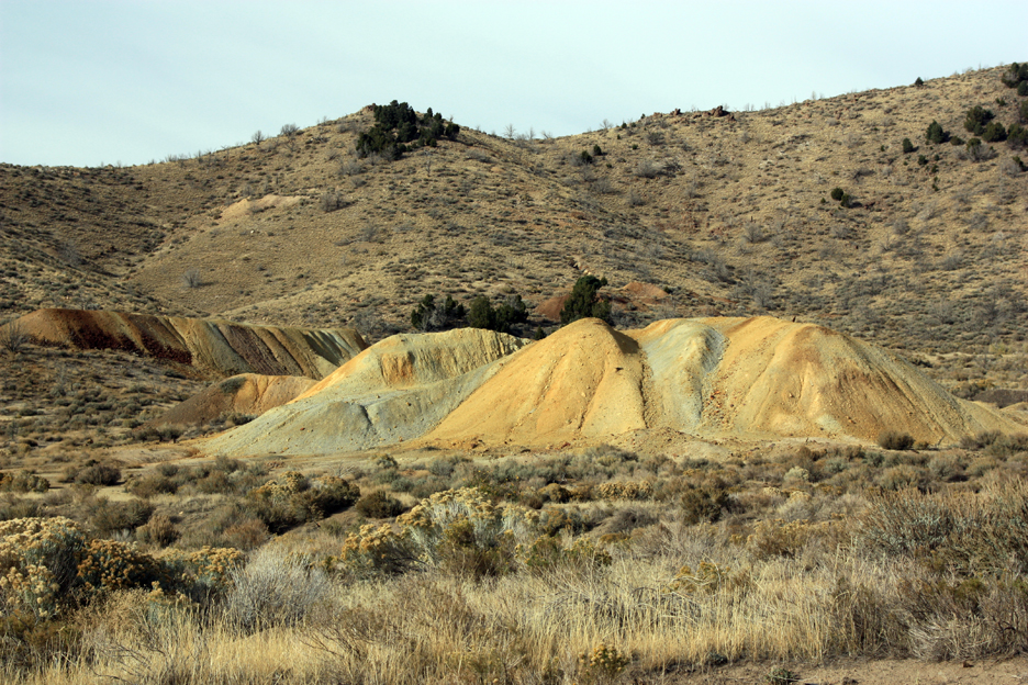
Mine dump at the Tintic Standard Mine near Eureka, Utah
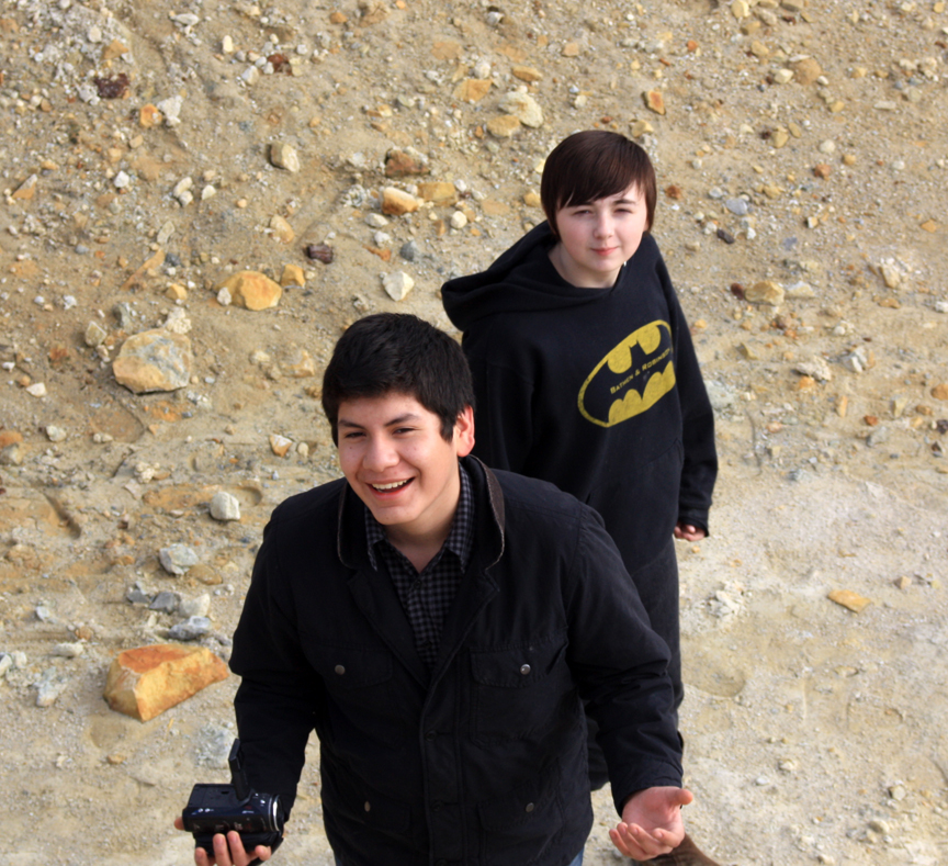
On Tuesday, March 12, 2013 I took three students down to Eureka, Utah to collect our third set of soil samples for our Amercian Chemical Society grant project. Jeffrey, Sean, and Indie helped to collect samples and measure the soil pHs, as well as explore the history of the Tintic Mining District.

Mine dump with contaminated soils at the Tintic Standard Mine
This time our first stop was at the old Tintic Standard Mine workings above Burgen and Dividend in the East Tintic District. Of all the ore bodies in the area, these on the east side of the Tintic Mountains were the last discovered and the Tintic Standard Mine was in full production by the 1920s. A reduction mill was built across Goshen Valley at the warm springs near Genola. Workers lived in a company town below the mine called Dividend. The mine produced well into the early 1940s, when it was partly shut down for the war effort, then re-opened. Work continued sporadically into the early 1970s.
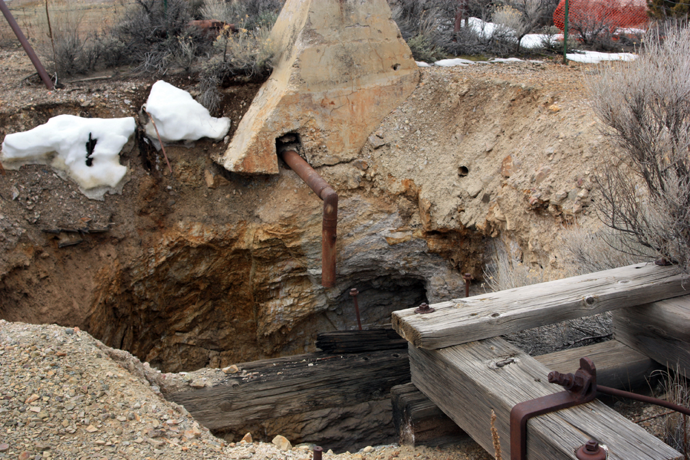
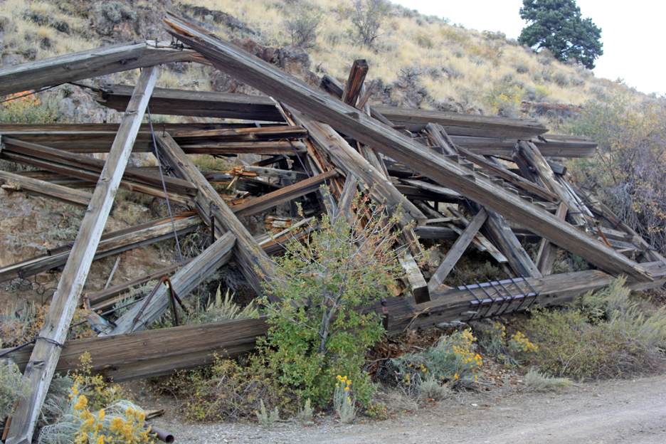
Collar and shaft at the Tintic Standard Mine. Even with a chain link fence around the hole, the loose soil at the collar could cave in and makes this shaft a dangerous place if you get too close.
There are still quite a few artifacts and ruins at the site, and care must be taken as there is a large vertical shaft with loose dirt around the collar, so you should stay well back from it. There is a large glory hole on the back hill and two water tanks further up, with the remains of a wooden ditch that brought water down to the company buildings and change room. The main portal to the mine went back from the change room, where there is still an old stove to keep the miners warm. That portal has been sealed off.

Stove in the change room at the main portal of the Tintic Standard Mine. This portal was active off and on into the 1970s.
After exploring around, we collected some samples from the mine dump at the bottom of the hill where melting snow had created a clayey puddle. We also collected several samples along a trench that had been cut into the waste rock dump, where the soil was discolored with purplish or yellow deposits. The pH indicator needle pegged several times, showing an acidic pH of less than 3.5. It will be interesting to see what kind of lead content these samples have.
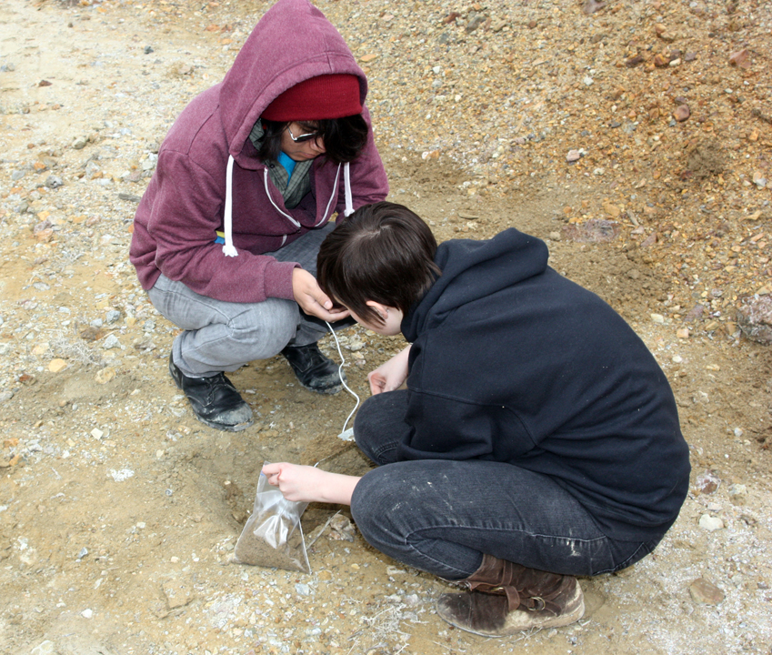
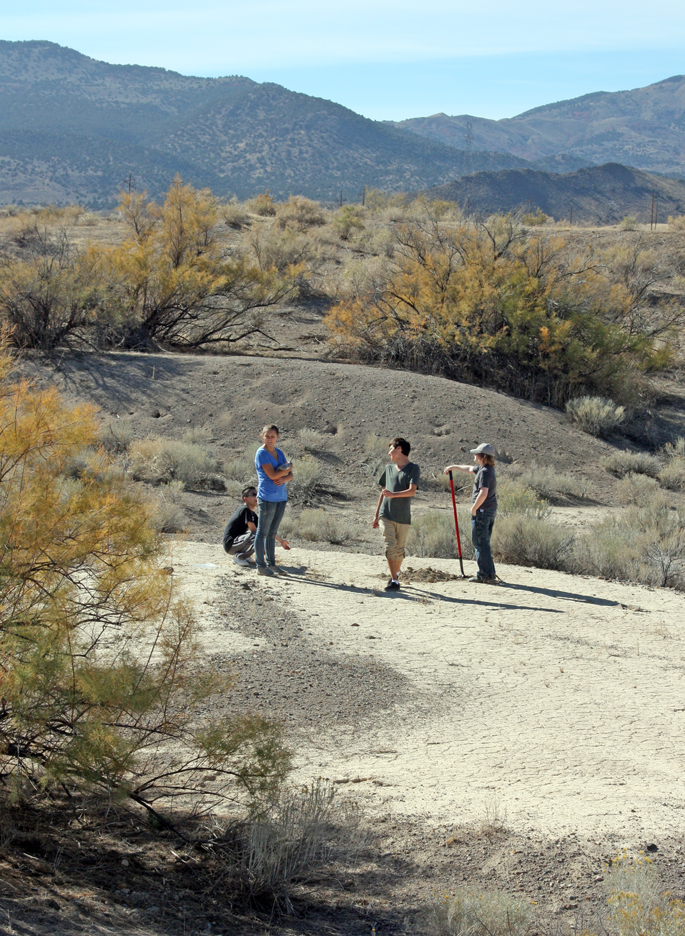
Jeffrey and Indie taking samples at the Tintic Standard Mine
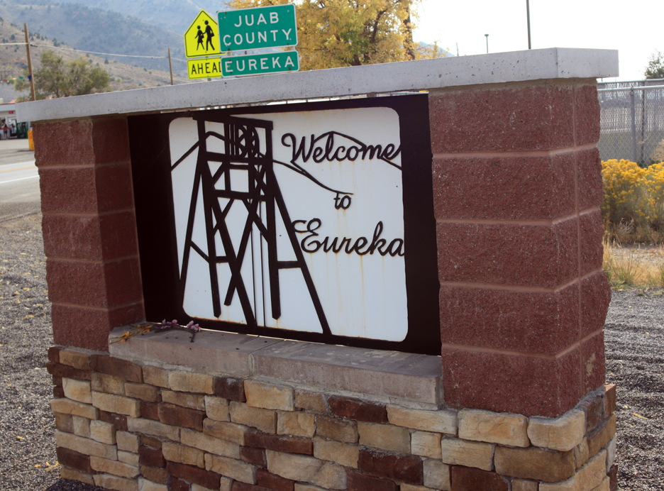
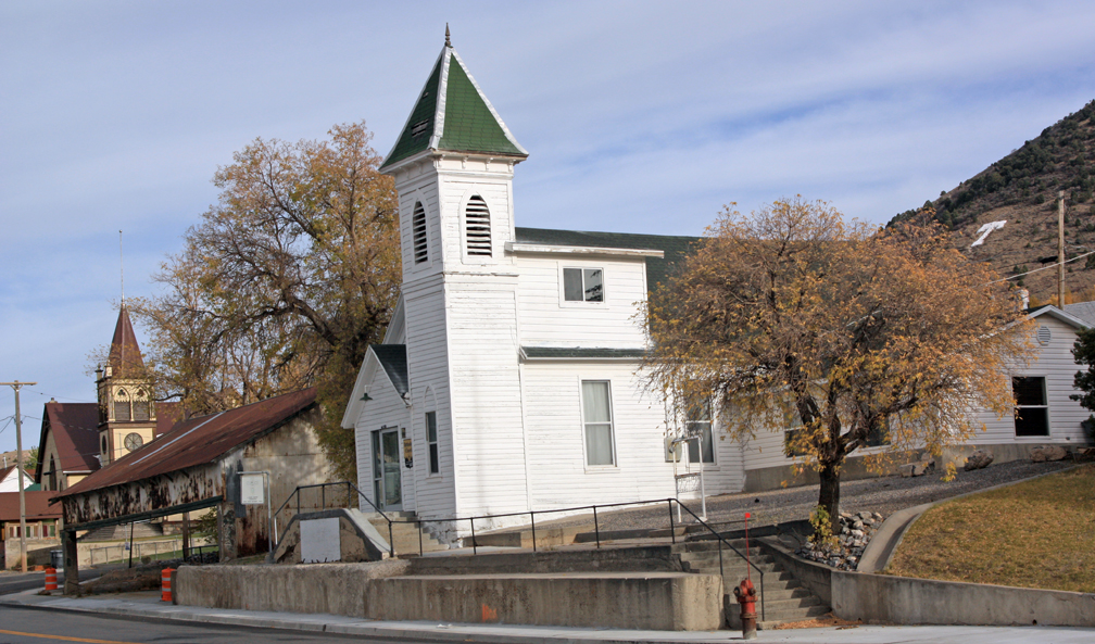
We then drove into Eureka and scouted around town for some additional sample sites to collect on our final trip on Thursday, as well as to look around the mining museum, old City Hall building with its jail in back, and the cemetery. I showed the students how miners worked the air-driven hammers and how water was sprayed into the holes through the center of the drill steel. We looked at the skips or man cages, the water removal buckets, and the mucker machine out front. We walked around Main Street, which was very quiet for a Tuesday afternoon. Only a few cars were driving through.
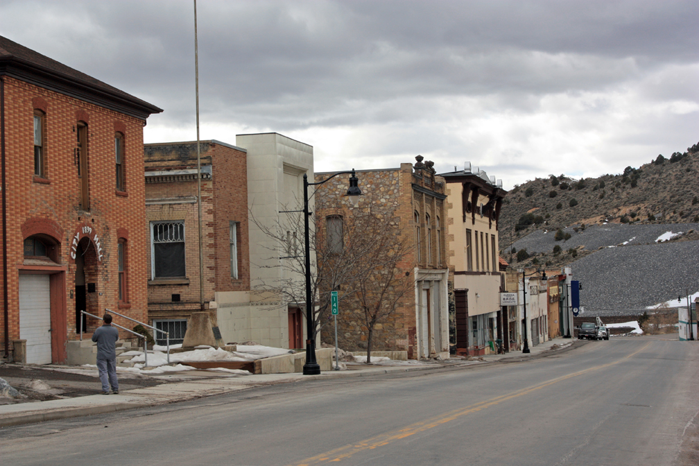
David Black by City Hall on Main Street in Eureka, Utah.
Water chute, tanks, and old foundation at the Tintic Standard Mine
We drove out through the west end of town on Highway 6 and took a detour through the cemetery, recording with the Flip cameras as we went. We explored around the town of Mammoth and collected samples in a wash at the mouth of Mammoth Canyon. We then went on around to the Swansea mine dumps at Silver City to continue collecting samples.
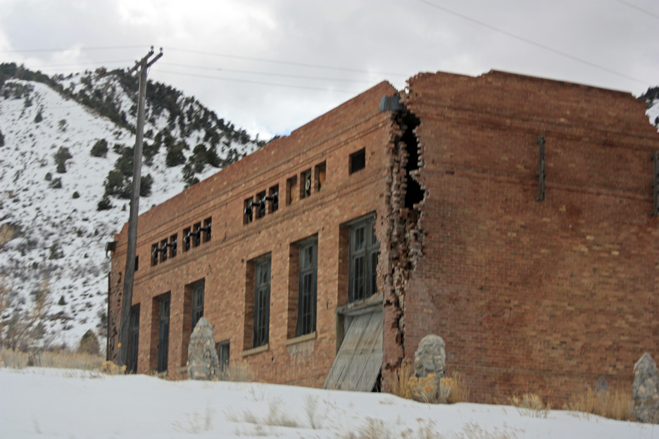
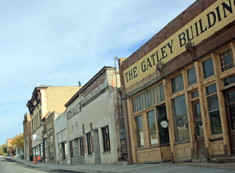
Ruins of the old power plant in Eureka. Heavy machinery moving through town has contributed to the deterioration of historic buildings like this one.
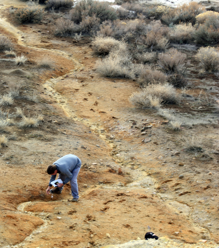
Since last week, the snow has mostly melted and the ground dried out to where we could walk on it in most places without leaving muddy footprints. We sampled in several washes running off the main dump and in soils between the washes where some scrub brush survives. The main wash feeding off of the dump had several layers of brightly colored soils, ranging from reds to yellows to even a shade of green.

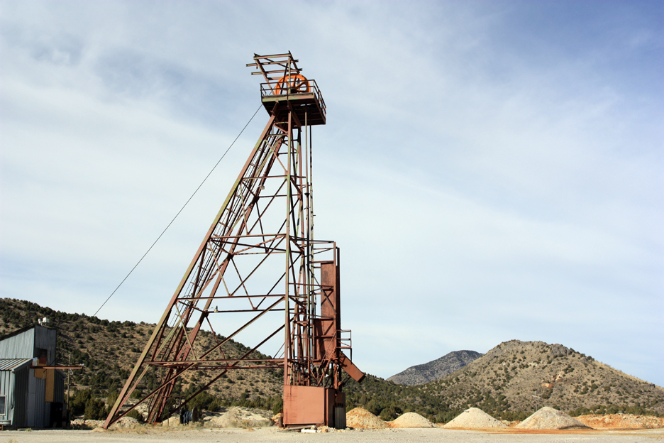
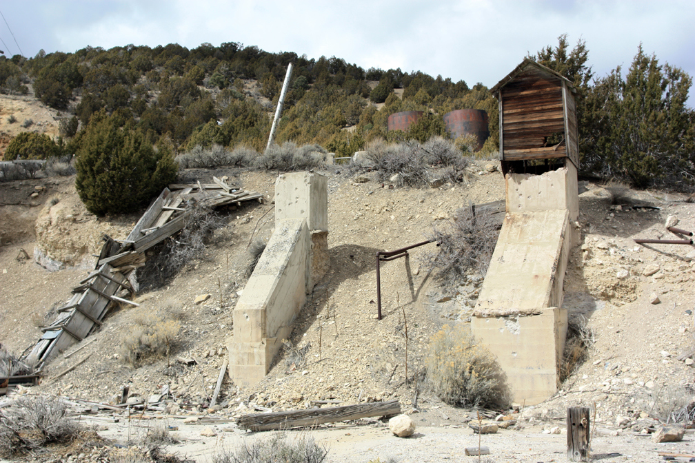
Mammoth Mine, headframe, and glory hole. This was the deepest mine in the district, with the richest concentration of silver and gold ore.
I can see we need to do more studying here, to see how much lead and acidic runoff continue down these washes into the valley beyond. The runoff water has left a red stain on the asphalt of the road over a hundred yards from the main dump. The soil on and near the dump itself and in the bottom of the washes is devoid of life. Even though the last time this mine waste was dug up was the 1980s, when the leach pile nearby was created, no plant life has yet to colonize the contaminated soils in about 30 years.
Sean and Indie at the Silver City mine dump.
David Black taking pH readings in the middle wash draining the mine dump at Silver City.
All told we had an enjoyable and low-key trip, and even though it was overcast the day was fairly warm. We had now collected all the samples we needed outside the remediated zone.
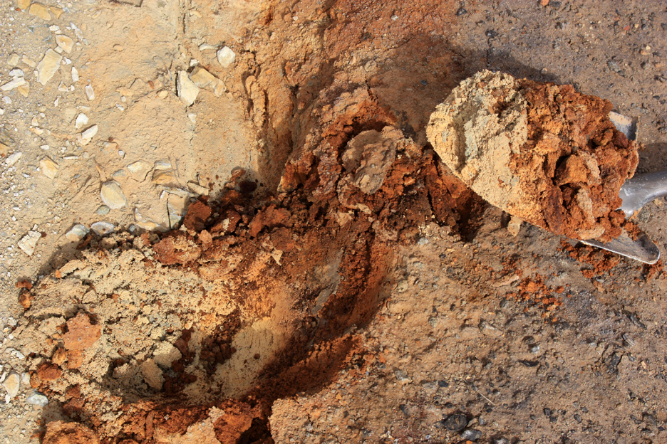
Contaminated soils in the wash draining the Silver City mine dump.